Precipitation
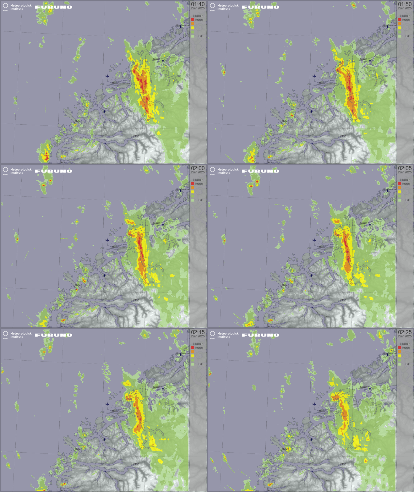
Update cycle: 5 min (45 min history)
Resolution: 250 meter
Shows areas where precipitation is currently expected. Based on the animation it is possible to predict where the precipitation will be moving next and it’s intensity.
The color palette levels from "Lett nedbør" up to "Kraftig nedbør" corresponds to approximately 0.03, 0.1, 1.0, 2.5 and 5.0 mm/hour.
Light precipitation may or may not reach ground.

Accumulated precipitation
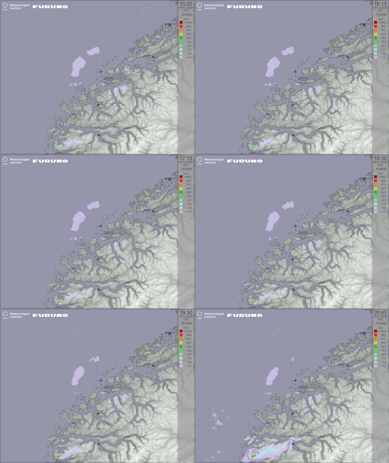
Update cycle: 15 min (6 hrs history)
Resolution: 250 meter
Displays accumulated precipitation observed in the last 6 hours.This product is useful for assessing rainfall intensities for flood warnings, urban flood and for special weather warnings.

 English